Côté Potager
Depuis ce printemps nous avons découvert les joies de la jardinerie,
Nous aimons les bons produits c'est pour cela qu'il nous parut naturel à l'évolution de notre restaurant de cuisiner nos produits récoltés et semés par nos mains.
Découvrez l'évolution de notre potager sur notre page Facebook Au coq blanc

Côté Terre
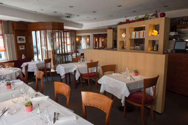
Produits de saison et du terroir rythment la carte du restaurant Au Coq Blanc.
Légumes et fruits frais locaux issus de l'agriculture raisonnée composent notre carte
Notre chef sélectionne chaque jour des produits de qualité du marché pour une cuisine raffinée.
Consultez notre carteCôté Mer
Élaborée à partir de poissons frais, la cuisine du Coq Blanc vous propose son indémodable Sandre façon Matelote,
recette transmise par Lucien ; ainsi que le cordon du pêcheur.
Consultez notre carte

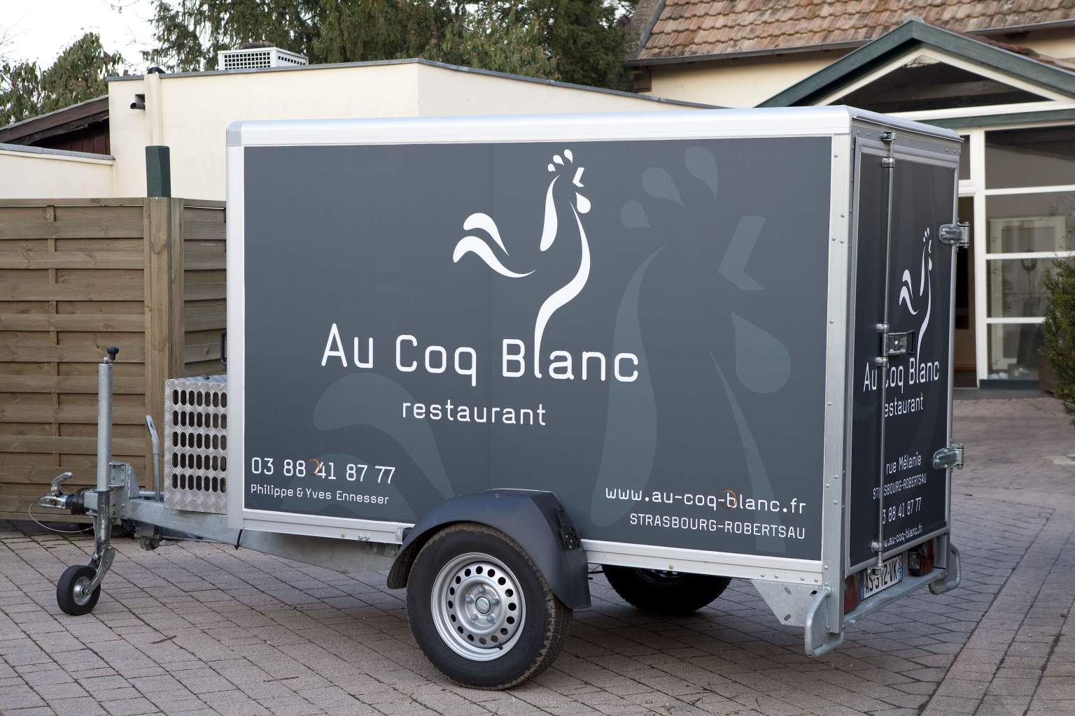
Service traiteur
N'hésitez pas à contacter notre équipe pour plus amples informations...
En savoir plus
Repas d'affaires - Réunion de famille
Pour vos réceptions ou séminaires, nous vous proposons des menus sur-mesure. Nos salles peuvent accueillir jusqu’à 80 personnes.
En savoir plus
Au coeur de la Robertsau, à 5 minutes du Parlement
Voir le plan d'accèsA deux pas du Parlement de Strasbourg...
Le restaurant Au Coq Blanc vous accueille du mardi au samedi midis et soirs & dimanche midi
Repos : Lundi toute la journée et dimanche soirs